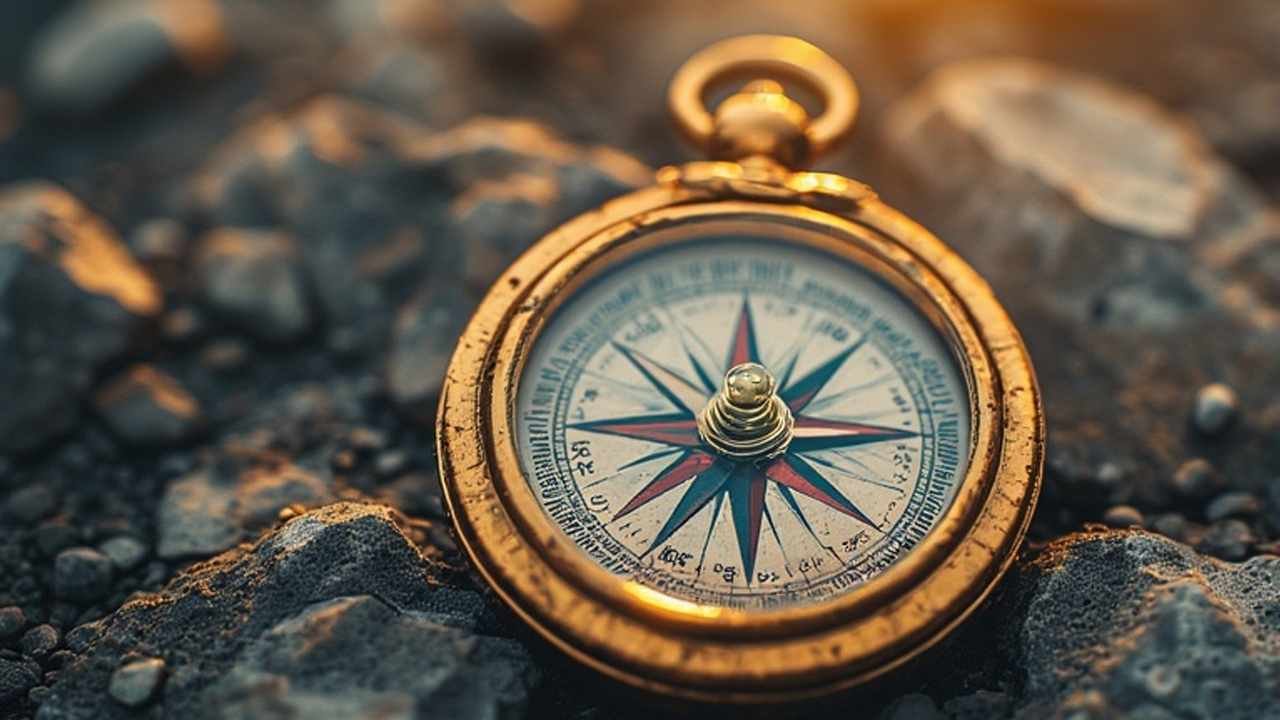
Lost Your Compass? Here’s How to Navigate Using Nature’s Signs: Navigation Without a Compass
In an age where GPS guides our every turn, the art of finding your way using nature’s signs is a powerful and empowering skill. Whether your phone battery dies on a remote trail or you simply want to deepen your connection with the outdoors, learning to navigate without a compass transforms you from a passive passenger into a confident explorer. This ancient practice, known as natural navigation, relies on observing the sun, stars, landscape, and even plants to determine your direction and maintain your course. By honing these techniques, you cultivate a profound awareness of your environment that technology can never replace, ensuring you can find your way home no matter where your adventures take you.
Mastering these methods doesn’t require special gear, just curiosity and practice. You can use the sun’s reliable arc across the sky, the fixed position of the North Star, the flow of water through valleys, and the growth patterns of trees as your guides. This guide will provide you with a comprehensive toolkit of wayfinding techniques, broken down into clear, actionable lists and tables. From simple shadow sticks for daytime navigation to interpreting the stars on a clear night, you’ll learn how to move through the wilderness with confidence and a renewed sense of purpose. For more foundational outdoor skills, check out our outdoor camping tips and tricks to build your knowledge.
Why Learn to Navigate Naturally?
Before we delve into the “how,” it’s important to understand the “why.” Relying solely on technology is a risky strategy in the backcountry. Electronics can break, batteries die, and satellite signals can be lost in deep canyons or dense forest cover. Natural navigation skills are your ultimate backup plan—they are lightweight, always available, and never run out of power.
Furthermore, research from University College London suggests that constant GPS use can limit activity in the parts of our brain responsible for spatial awareness and memory . In contrast, practicing natural navigation strengthens your hippocampus, the brain’s orientation center, making you more aware and engaged with your surroundings. It’s not just about avoiding getting lost; it’s about being truly found in the wild.
The Sun: Your Daytime Guide
The sun is the most consistent and reliable natural navigator. Its predictable path creates shadows and highlights that offer clear directional cues, provided you know how to read them.
1. Understanding the Sun’s Basic Path
The sun’s movement provides the most fundamental directional clues. You can use this basic knowledge to get a general sense of direction at any time of day.
- Sunrise and Sunset: The sun rises roughly in the east and sets roughly in the west everywhere in the world (with exceptions in the polar regions) . This is the easiest starting point for orientation at the beginning or end of a day.
- Midday Sun: At solar noon—when the sun is at its highest point in the sky—its position tells you north or south. In the Northern Hemisphere, the midday sun is always due south. In the Southern Hemisphere, it is due north . This is a crucial landmark for correcting your course throughout the day.
2. The Shadow-Tip Method: A Precision Technique
For a more accurate reading, the shadow-tip method is a time-tested and highly effective technique. All you need is a stick and a level patch of ground.
- Step 1: Find a straight stick about 2 to 3 feet long and push it vertically into a flat, clear patch of ground.
- Step 2: Mark the tip of the stick’s shadow with a small stone or twig. This first mark represents west .
- Step 3: Wait 15-20 minutes. The shadow will have moved. Mark the new position of the shadow tip with a second stone. This second mark represents east .
- Step 4: Draw a straight line in the dirt connecting the two points. This is your east-west line. You can then draw a perpendicular line to create a full north-south cross .
Stand with the first mark (west) at your left and the second mark (east) at your right, and you will be facing true north. This method works because of the Earth’s rotation, which makes the sun appear to move westward, causing shadows to move in the opposite direction.
3. Using an Analog Watch
If you have an analog watch and can see the sun, you can quickly determine a general southward direction in the Northern Hemisphere.
- The Method: Hold the watch flat and point the hour hand directly at the sun. South is roughly halfway between the hour hand and the 12 o’clock mark on the watch face . Remember that this method is a general guide and can be affected by daylight saving time and your location within a time zone.
Table: Quick Sun-Based Direction Finding in the Northern Hemisphere
| Time of Day | Sun’s Position | Shadow Direction | Your Action |
|---|---|---|---|
| Morning | In the Eastern sky | Points West | Face the sun to head East. |
| Midday | Due South | Points Due North | Face the sun to head South. |
| Evening | In the Western sky | Points East | Face the sun to head West. |
| Cloudy Day | Obscured | Faint shadows cast opposite the sun | Find a shadow; it points North at midday. |
The Stars: Your Nighttime Compass
When the sun disappears, the celestial canopy takes over. The night sky, with its fixed reference points, has guided travelers for millennia.
1. Finding North with Polaris
In the Northern Hemisphere, Polaris, the North Star, is the key to navigation. It holds a nearly fixed position directly above the Earth’s North Pole, making it the one star that doesn’t appear to move through the night .
- Step 1: Locate the Big Dipper (Ursa Major), one of the most recognizable constellations, which looks like a large saucepan.
- Step 2: Find the two stars that form the outer edge of the “dipper” (away from the handle). These are known as the “pointer stars.”
- Step 3: Draw an imaginary line from the bottom pointer star up through the top one, and continue this line about five times the distance between the two stars.
- Step 4: The first bright star you come to is Polaris. It is the tip of the handle of the Little Dipper (Ursa Minor) . Once you find it, you are looking almost directly true north.
2. Finding South with the Southern Cross
For those in the Southern Hemisphere, the Southern Cross (Crux) is the primary navigational constellation.
- Step 1: Identify the Southern Cross, a distinctive cross-shaped constellation of four bright stars.
- Step 2: Locate the two stars that form the long axis of the cross.
- Step 3: Imagine a line extending from the foot of the cross through the top, and continue this line about four and a half times the entire length of the cross itself.
- Step 4: From the end of this imaginary line, drop straight down to the horizon. This point is the South Celestial Pole, indicating general south .
3. The L.U.R.D. Method for Any Star
If you can’t find the key constellations, you can use any bright star with the L.U.R.D. method.
- Step 1: Drive two sticks into the ground in line with a bright star, creating a sighting tool where the star is perfectly aligned with both sticks.
- Step 2: Wait 15-20 minutes. The Earth’s rotation will cause the star to appear to move.
- Step 3: Observe the direction of the star’s movement relative to your sticks and use the L.U.R.D. acronym to interpret it :
- Left = North
- Up = East
- Right = South
- Down = West
Table: Night Sky Navigation Aids
| Celestial Body | Hemisphere | How to Find It | Direction It Indicates |
|---|---|---|---|
| Polaris (North Star) | Northern | Use the Big Dipper’s pointer stars. | True North |
| Southern Cross (Crux) | Southern | Extend the long axis 4.5x to the horizon. | South |
| Crescent Moon | Either | Draw a line through the moon’s points to the horizon. | South |
| Any Star (L.U.R.D. Method) | Either | Track its movement over 15-20 minutes. | Left=North, Up=East, Right=South, Down=West |
Reading the Landscape and Nature’s Clues
Beyond the sky, the earth itself is filled with subtle and not-so-subtle directional signs. Learning to read the landscape is a critical part of the wayfinder’s skill set.
1. Using Water as a Guide
Rivers and streams are predictable and powerful navigational handrails.
- Flow Direction: Water always flows downhill, eventually joining larger rivers and leading to lakes, seas, or populated areas . Following a stream downstream is a classic strategy for finding your way to civilization.
- As a Landmark: On a map, a river is a clear linear feature you can use to pinpoint your location. If you know you are east of a north-south flowing river, you can re-orient yourself by finding the water .
2. Interpreting Vegetation and Growth Patterns
Plants respond to the sun’s influence in ways that can reveal direction, though these are general clues best used to confirm other observations.
- Tree Branches and Foliage: In the Northern Hemisphere, the south-facing side of a tree, which receives more sunlight, often has thicker, more robust growth . Isolated trees may appear to be “reaching” toward the south.
- Moss on Trees: A common myth is that moss only grows on the north side of trees. In reality, moss grows where it’s damp and shaded. In many regions, the north side of a tree is shadier and cooler, so moss is often found there . However, you should always corroborate this with other signs, as local humidity and shade can make moss grow on all sides.
- Snow Melt: On sunny days, snow melts faster on south-facing slopes. After a snowfall, you may observe that south-facing sides of rocks and trees are bare while north-facing sides still hold snow .
3. Observing Wind and Weather Patterns
While less reliable than celestial navigation, prevailing winds can offer clues.
- Prevailing Winds: In the United States, weather systems often move from west to east. This means the prevailing wind direction frequently comes from the west . You can use this to maintain a general bearing—for example, keeping a west wind in your face to travel west.
- Wind-Shaped Trees: On ridgelines and open areas, trees are often sculpted by constant wind. They may lack branches on the windward side (typically the west) or have their tops permanently bent away from the prevailing wind, pointing eastward .
Practical Navigation Strategies for the Trail
Knowing how to find direction is one thing; applying that knowledge to actually navigate a route is another. These practical strategies will help you travel with purpose.
1. The Art of Walking in a Straight Line
Humans have a natural tendency to walk in circles when visual references are lost. To walk a straight line, use a technique called “lining up.”
- The Method: Pick three distinct objects in front of you that are in a straight line (e.g., a distinctive rock, then a tree, then a distant hill). Walk to the first object, and before you leave it, pick a new third object in line with the second. Continue this process to maintain a straight course through featureless terrain .
2. Creating a Mental Map and Using Handrails
Before you even take a step, study the landscape and identify large, immovable features.
- Handrails: A “handrail” is a linear feature that runs parallel to your direction of travel that you can follow, such as a river, a long ridge, or even a road . This simplifies navigation, as you just need to keep the handrail on your left or right.
- Backstops: A “backstop” is a feature that runs perpendicular to your route and will alert you if you’ve gone too far, such as a trail that crosses your path or a change from forest to meadow .
3. What to Do If You’re Lost: S.T.O.P.
The moment you realize you might be lost, execute the S.T.O.P. protocol.
- Stop: Do not move. Panic is your worst enemy.
- Think: Assess your situation calmly. What were the last known landmarks? What resources do you have?
- Observe: Look around for the natural clues discussed in this article. Check the sun, look for water, and listen for sounds of roads or people.
- Plan: Based on your observations, create a rational plan. If you are truly disoriented or injured, the best plan is often to stay put, find shelter, and signal for help. Wandering aimlessly increases your risk and makes it harder for rescuers to find you. For more on this critical skill, our safety tips for solo hikers provides an in-depth look at preparedness.
Honing Your Skills: Practice Makes Permanent
Natural navigation is an art that sharpens with practice. You don’t need to be in a survival situation to start learning.
- Practice in a Familiar Park: Go for a walk in a local park and try to determine direction using only the sun or shadows. Check your guesses with a compass or phone app.
- Stargaze in Your Backyard: On a clear night, practice finding Polaris or the Southern Cross. Familiarity breeds confidence.
- Study Topo Maps: A topographical map is the perfect companion to these skills. Understanding contour lines helps you visualize the landscape you are navigating. The United States Geological Survey (USGS) is a fantastic resource for topo maps and geological data.
- Go on a “No-Tech” Hike: On a safe, well-defined trail, challenge yourself to navigate for an hour without using any technology. Rely solely on your observation of the sun, landmarks, and wind.
Frequently Asked Questions (FAQ)
Q1: Is moss on trees a reliable way to find north?
Moss is a general clue, not a definitive guide. Moss grows in damp, shaded areas, which is often the north side of trees in the Northern Hemisphere. However, local conditions like wind-driven rain, shade from other trees, or humidity can cause moss to grow on any side. Always use moss to confirm other signs, not as your sole method .
Q2: What is the single most reliable natural navigation method?
The shadow-tip method using the sun is one of the most accurate and reliable daytime techniques. For nighttime navigation in the Northern Hemisphere, locating Polaris (the North Star) is the most dependable method, as it points almost directly to true north .
Q3: How can I navigate on a completely cloudy day?
When the sky is completely obscured, you must rely entirely on landscape clues. Look for the flow of water, the lie of the land (which way slopes are facing), and vegetation patterns. In this situation, your pre-trip map study is critical. If you are lost and cannot navigate safely, the best course of action is often to stay put and signal for help .
Q4: Can I use an analog watch with a digital phone clock?
Yes, you can. Simply draw an analog clock face on a piece of paper, marking the hour hand at the current time. Then, use the same method as you would with a physical analog watch: point the drawn hour hand at the sun, and south is halfway between that hand and “12 o’clock” on your drawing.
Q5: How accurate is natural navigation compared to a compass?
Natural navigation provides “gross” or general direction. It’s excellent for staying on a general bearing and preventing you from walking in circles. A quality magnetic compass, however, will always be more precise for determining an exact bearing. Think of natural navigation as your essential backup and awareness-building skill, while a compass is your primary precision tool .